Geographic Information Systems
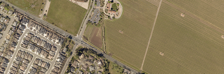
Geographic Information Systems (GIS) is a technology that combines information with maps to visualize the landscape in a variety of unique ways. ISD GIS produces high-quality cartographic images and applications to assist a wide variety of customers with day to day work processes and decisions.
ISD GIS maintains the countywide base map (such as addresses, streets, and parcels) and supports programs such as the Fire Run Book, CAD 9-1-1 system, Decennial Census, and Sonoma County Vegetation Mapping & LiDAR Program (Sonoma Veg Map).
GIS coordinates the development of a shared enterprise system and provides support to over twenty county agencies, several incorporated cities, and special districts.
If you have questions about GIS products and services please contact us.
Sonoma County GIS
Explore interactive maps and GIS data:
Resources
Maps & GIS
Sonoma County GIS
Spatial Understanding for Better Decisions

Find interactive maps and applications, GIS data, and related online content.